
Setting out the site’s constraints and opportunities; a series of design principles; the evolution of the design; and the illustrative masterplanning proposals.
Setting out land use; access and movement; and building heights.
A Green Infrastructure Plan and Strategy will form part of the planning application.
The proposals include:
Public Open Spaces (POS) and green corridors – These have been integrated into the proposals to link with the existing open spaces and play provision at Langton Walk adjacent to the site, as well as the wider town and countryside.
POS is proposed adjacent to the new local shops and opposite the Malcolm Sargent Primary School which could form a new community gathering space. Further POS is proposed at the heart of the development which could provide a quiet landscaped / sensory space for residents. There are additional areas of informal open space to the south of the development, as well as supplementary areas of linear green space.
Connecting the green spaces by footpaths and green corridors will enhance accessibility to both new and existing residents in the area.
Play areas – with a range of equipment.
Trim Trail – a trail is proposed for recreation, movement and engagement with nature.
Planting – the Landscape Strategy will outline information about the retention of existing trees and shrubs and the new planting proposed across the site, as well as information about its future management.
The proposals will incorporate the existing woodland alongside the A1 and trees to the south of the site, providing a buffer and retaining the landscape structure.
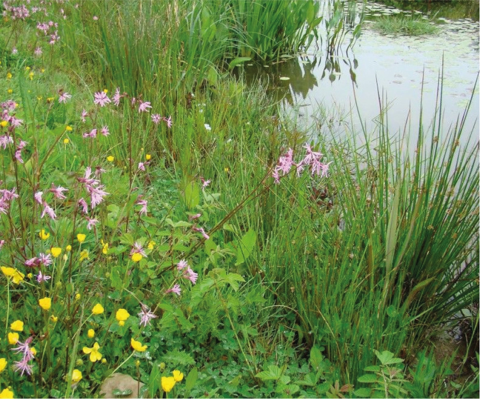
Throughout the various areas of multifunctional, accessible green space there are opportunities to provide a wide variety of planting including native trees, hedgerows and shrubs, as well as areas of meadow grassland and a wildlife pond. Planting within the central open space could be designed to provide sensory gardens and spaces with a range of plants providing an array of colours, scents and textures.
In addition to areas of open space, there will be street trees, verges and rain gardens throughout the site, providing attractive neighbourhoods and benefits for biodiversity.
An Ecological Impact Assessment will include details of habitats and species and assess the effects of development and recommend mitigation/enhancement measures.
There will also be a Biodiversity Net Gain Assessment which will set out how the development can achieve a minimum of a 10% net gain of biodiversity on the site, or with suitable offsetting, through this development.
The proposals can provide enhancements for a wide range of species by delivering ecological valuable habitats supported by a management and maintenance strategy. The site is predominantly arable and there is scope to create habitats of ecological value that fit into the local area. This includes species-rich grasslands and enhancement of woodlands to protect existing species.

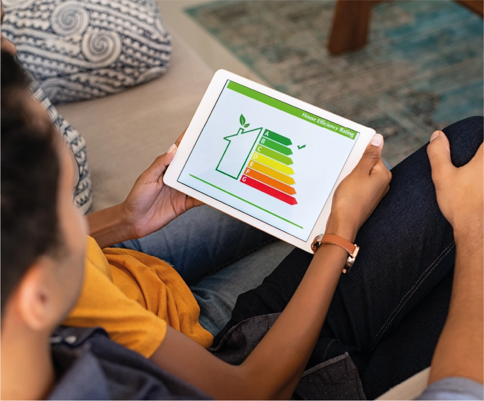
A sustainability and energy strategy will be submitted with the outline application. This will set out intended standards and measures which will be integrated into the development to facilitate the transition to a low carbon economy.
The development will seek to meet high standards of energy efficiency, integrating principles of sustainable design and construction and minimising environmental impacts with respect to energy use, water use, waste, pollution and transport.
Homes will be specified with high standards of fabric insulation and airtightness, along with effective services to ensure energy consumption via space heating is reduced. Renewable energy solutions such as solar panels and air source heat pumps are being considered to ensure the proposed development is future proofed for the longer term and ready to meet the Future Homes/Buildings Standard from 2025.

Planning transport provision is an integral part of the scheme. A Transport Assessment and Travel Plan will be included within the application. The Transport Assessment will determine the effect of the development-related trips on the local transport network identifying where, if necessary, any mitigation/improvements are needed. The revised scheme will result in with fewer trips than that of the consented employment-led scheme, with significantly less HGV movements and ultimately has a reduced highways impact.
The Travel Plan will include a comprehensive package of measures/initiatives to assist future residents to minimise the need to travel by single occupancy car, whilst encouraging sustainable travel.
The proposals will be designed to deliver the following:
Minimise the need to travel
Safe, walkable neighbourhoods.
On-site food store, shops, community facilities and services.
Spaces for play, recreation and exercise.
Within walking distance to educational facilities.
High quality digital connectivity to enhance the opportunity to work from home.
Promote sustainable travel
Walking and cycling paths throughout the site connecting to new and existing provision.
Empingham Road footpath/cyclepath improvements.
A pedestrian crossing over Empingham Road to connect to the school, and to enable existing local residents in the area reach the new facilities on site.
Improvements to bus stops on Empingham Road and enhanced services.
Manage car demands
EV charging provision.
Car clubs/car share schemes.
A new junction onto Empingham Road sufficient to accommodate demand from the site whilst not impacting current movements.
Few vehicular trips will need to travel through the town centre given the site’s location relative to the A1.
The noise sources identified at the site are the A1 to the west, and Empingham Road to the north.
Mitigation in the form of orientating gardens on the screened side of dwellings, some acoustic barriers and a suitable glazing and ventilation scheme will be integrated into the proposed development to ensure that acceptable noise levels are achieved at the proposed homes.
During the operational phase, plant equipment associated with the Local Centre will generate noise, however appropriate mitigation will be put in place to reduce any adverse impacts.
A Noise Impact Assessment will accompany the outline planning application and will confirm the mitigation measures on site.
Current air quality monitoring data and Defra background data suggest air quality within Stamford and the surrounding road network are within the current air quality objectives.
An Air Quality Assessment will accompany the outline planning application and will measure the effects of the proposals and provide details of any required solutions as part of the sustainable transport provisions.
A review of flood risk constraints to the site indicate that there is a low level risk of flooding from river or sea, surface water, groundwater, reservoirs and large waterbodies, and sewers. The outline planning application will be accompanied by Flood Risk Assessment (FRA) that will assess the risk of flooding from all sources.
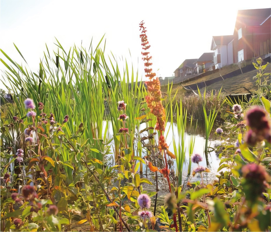
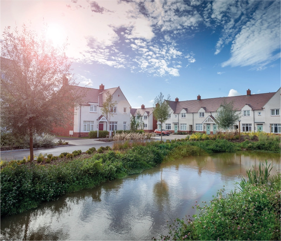
Surface water from the proposed development will drain via infiltration soakaway Sustainable Drainage Systems (SuDS), with surface water runoff being managed within the site through the use of permeable block paving, swales, rain gardens, and household soakaway systems.
The use of multiple SuDS integrated across the proposed development will manage surface water runoff, whilst providing sufficient water quality treatment, amenity and biodiversity benefits throughout the development.
Both foul water and potable water networks will be modelled by Anglian Water, with any reinforcements that need to be carried out to support the new homes being undertaken as required. Due to the site topography, a pumped solution will be required for foul flows. An appropriate allowance for a standoff from the site’s pumping station to any dwellings has been allowed for within the masterplan layout.
The outline planning application will be accompanied by a Utility Assessment which will obtain and appraise all existing utilities record information in the vicinity of the site to ensure existing utility assets are coordinated with as far as practicable. The assessment will also include the anticipated utility requirements for the proposed development and evidence that the required infrastructure is deliverable without adversely impacting the local utility networks. This will include provision for electricity, potable water, high speed broadband, telephone and foul water connections for example.